

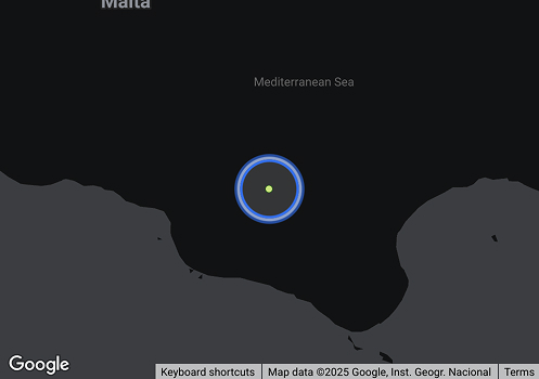
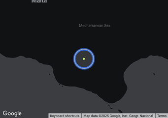
UMA (IMO 9258870, MMSI 750057000) is a Crude Tanker flagged in Guyana. UMA was built in 2003 with a deadweight capacity of 114,761 MT and a length overall of 252 metres. The vessel was last recorded travelling at 8.6 knots, on a heading of 182 degrees, with a next recorded destination of KHARK port (IRKHK). Based on MagicPort's screening against 300+ international sanctions watchlists, UMA currently has matches against one or more designations. Profile data is sourced from AIS feeds and updated continuously.
| Class | A |
|---|---|
| Deadweight | 114,761 t |
| Gross Tonnage | 63,661 |
| Net Tonnage | 34,210 |
| Length overall (LOA) | 252 m |
| Class Society | |
| P&I Club | ••••••••• |
| Beam | 43.8 m |
| Depth moulded | 21.3 m |
Ownership
Voyage History
Survey Renewal & Certificates
| Code | Nature | Issued RO | Surveyed RO | Date of issue | Date of expire |
|---|---|---|---|---|---|
FAQ about UMA vessel
What's the identification number for vessel UMA?
UMA's IMO number is 9258870, and its MMSI is 750057000.
Which is the flag and call sign of vessel UMA (IMO 9258870)?
Vessel UMA (IMO 9258870) sails under the flag of GUYANA with the call sign 8RAC03.
What is the type and subtype of vessel UMA (IMO 9258870)?
UMA (MMSI: 750057000) is classified as a crude tanker.
What are the dimensions (LOA, beam) and carrying capacity (DWT) vessel UMA (IMO 9258870)?
The ship measures 252 meters in length overall (LOA) and 43.84 meters in width, providing a carrying capacity of 114,761 MTs deadweight (DWT).
What is the vessel UMA (IMO 9258870)'s destination?
The ship is en route to KHARK port (IRKHK).
Which ports vessel UMA (IMO 9258870) visited in the last 12 months (1 year)?
UMA (IMO 9258870) has a recorded port call history available to MagicPort Maritime Intelligence subscribers. In the last 12 months, the vessel has visited SHINAS Port (OMSHI), Oman, BANDAR ABBAS Port (IRBND), Iran, HULAYLAH TERMINAL Port (AEHTL), United Arab Emirates, KUALALANGSA Port (IDKUA), Indonesia and SINGAPORE Port (SGSIN), Singapore. Full port call history — including arrival and departure timestamps, voyage sequences, and port visit frequency — is accessible via MagicPort at Maritime Intelligence.
Is UMA sanctioned?
MagicPort screens UMA (IMO 9258870), its registered owner and its managers against 300+ sanctions and watchlist datasets, updated continuously. Need more details? Request a Free Sanctions Screening Report.
What is the risk profile of UMA?
The risk profile combines sanctions screening, port calls to sanctioned countries, port state control detentions and identity changes. Create a free account to view it for UMA.
Which sanctions lists does MagicPort screen against?
More than 300 datasets, including the UN Security Council, OFAC, the EU, UK OFSI and national lists from many other jurisdictions.
How often is the screening updated?
Continuously. A vessel is screened again whenever a sanctions list changes.
How do I see the risk and compliance status?
Create a free account and open the Compliance & Risk Check section on the vessel page. New accounts include a free 5-day trial.
Similar Vessels
Compliance Status
| Navigation Status | Under way using its engine |
|---|---|
| Reported ETA | ••••••••• |
| Reported Destination (AIS) | ••••••••• |
| Last Position Update | ••••••••• |
| Speed | 8.6 knots |
| Draught | ••••••••• |
| Summer Draught | ••••••••• |
| Heading | 182° |
| Course | 298.8° |
| Next Destination | |
| Current Position | ••••••••• |
| Shipyard Country | |
|---|---|
| Builder (Shipyard) | |
| Year Built | 2003 |
| Keel Laid Year | 2003 |
| Hull Type Code | ••••••••• |