

| Class | A |
|---|---|
| Deadweight | - |
| Gross Tonnage | - |
| Net Tonnage | ••••••••• |
| Length overall (LOA) | 15 |
| Class Society | ••••••••• |
| Beam | ••••••••• |
| Depth moulded | ••••••••• |
Ownership

Voyage History
Survey Renewal & Certificates
| Code | Nature | Issued RO | Surveyed RO | Date of issue | Date of expire |
|---|---|---|---|---|---|
FAQ about MIA MARIE vessel
What's the identification number for vessel MIA MARIE?
MIA MARIE's IMO number is 1033118, and its MMSI is 368401350.
Which is the flag and call sign of vessel MIA MARIE (IMO 1033118)?
Vessel MIA MARIE (IMO 1033118) sails under the flag of USA with the call sign WDP9703.
What is the type and subtype of vessel MIA MARIE (IMO 1033118)?
MIA MARIE (MMSI: 368401350) is classified as a tug ship.
What are the dimensions (LOA, beam) and carrying capacity (DWT) vessel MIA MARIE (IMO 1033118)?
The ship measures 15 meters in length overall (LOA) and 6 meters in width.
Is MIA MARIE (IMO 1033118) sanctioned?
MIA MARIE (IMO 1033118) is not sanctioned.
What is the risk profile of MIA MARIE (IMO 1033118)?
Vessel MIA MARIE is currently not flagged as risky. For detailed analysis please log into MagicPort’s Maritime Intelligence.
Similar Vessels
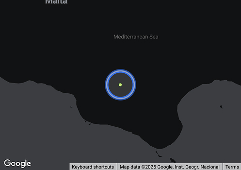
| Navigation Status | Power-driven vessel pushing ahead/towing alongside |
|---|---|
| Reported ETA | ••••••••• |
| Reported Destination | |
| Last Position Update | ••••••••• |
| Speed | 0 knots |
| Draught | ••••••••• |
| Summer Draught | ••••••••• |
| Heading | 139º |
| Course | 28º |
| Next Destination | MXATM |
| Navigation Status | 12 |
| Current Position | ••••••••• |
| Shipyard Country | |
|---|---|
| Builder (Shipyard) | |
| Year Build | - |
| Keel Laid Year | - |
| Hull Type Code | ••••••••• |