

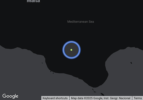
ASCENSION (IMO 7438725, MMSI 367138710) is a Passenger Ship flagged in USA. ASCENSION has a length overall of 45 metres. The vessel was last recorded travelling at 14.1 knots, on a heading of 90 degrees, with a next recorded destination of PLAQUEMINE port (USPLQ). Profile data is sourced from AIS feeds and updated continuously.
| Class | A |
|---|---|
| Deadweight | - |
| Gross Tonnage | - |
| Net Tonnage | - |
| Length overall (LOA) | 45 m |
| Class Society | |
| P&I Club | ••••••••• |
| Beam | 18 m |
| Depth moulded | - |
Ownership
Voyage History
Survey Renewal & Certificates
| Code | Nature | Issued RO | Surveyed RO | Date of issue | Date of expire |
|---|---|---|---|---|---|
FAQ about ASCENSION vessel
What's the identification number for vessel ASCENSION?
ASCENSION's IMO number is 7438725, and its MMSI is 367138710.
Which is the flag and call sign of vessel ASCENSION (IMO 7438725)?
Vessel ASCENSION (IMO 7438725) sails under the flag of USA with the call sign WDD3969.
What is the type and subtype of vessel ASCENSION (IMO 7438725)?
ASCENSION (MMSI: 367138710) is classified as a passenger ship.
What are the dimensions (LOA, beam) and carrying capacity (DWT) vessel ASCENSION (IMO 7438725)?
The ship measures 45 meters in length overall (LOA) and 18 meters in width.
What is the vessel ASCENSION (IMO 7438725)'s destination?
The ship is en route to PLAQUEMINE port (USPLQ).
Which ports vessel ASCENSION (IMO 7438725) visited in the last 12 months (1 year)?
ASCENSION (IMO 7438725) has a recorded port call history available to MagicPort Maritime Intelligence subscribers. In the last 12 months, the vessel has visited PLAQUEMINE CITY Port (USPLQ), United States. Full port call history — including arrival and departure timestamps, voyage sequences, and port visit frequency — is accessible via MagicPort at Maritime Intelligence.
Similar Vessels
Compliance Status
| Navigation Status | Under way using its engine |
|---|---|
| Reported ETA | ••••••••• |
| Reported Destination (AIS) | ••••••••• |
| Last Position Update | ••••••••• |
| Speed | 14.1 knots |
| Draught | ••••••••• |
| Summer Draught | ••••••••• |
| Heading | 90° |
| Course | 95° |
| Next Destination | |
| Current Position | ••••••••• |
| Shipyard Country | |
|---|---|
| Builder (Shipyard) | |
| Year Built | - |
| Keel Laid Year | - |
| Hull Type Code | ••••••••• |